One of the most “popular” and yet misunderstood visual images of colonial Charleston is the map commonly known as the “Crisp Map.” Since it’s the only published map that shows the first walls surrounding the city, many books and articles use this image as a principal illustration of life in early colonial Charleston. There’s an important catch, however, that many readers are not aware of. The image of the Crisp Map that is commonly found in books, articles, and even the official City of Charleston tour guide manual, is a flawed nineteenth-century fake.

James Akin’s 1809 misleading “copy” of the Crisp Map
Engraved by James Akin of Philadelphia and published in David Ramsay’s History of South Carolina in 1809, this map (seen here to the right) measures approximately 9 by 11.5 inches and bears the title “A Plan of Charles Town from a survey of Edwd. Crisp in 1704.” For nearly two hundred years now readers have admired this map and assumed Edward Crisp created it from his own survey of the town in 1704, but that’s just not true.
The “Crisp Map” is actually a large-format (82 by 99 cm), multi-image map that was published by Edward Crisp in London in 1711. Actually, it was published without a date, but historians have studied the names and features on the map and determined beyond doubt that it was published in 1711 (certainly not 1704). As you can see in the image below, the map bears a long title: “A Compleat Description of the Province of Carolina in 3 Parts. 1st. The Improved Part from the Surveys of Maurice Mathews & Mr. John Love. 2ly. The West Part by Capt. Tho. Nairn. 3ly: A Chart of the Coast from Virginia to Cape Florida. Published by Edwd. Crisp.”  Towards the middle of the map is a cartouche with a dedication to the Lords Proprietors of Carolina, as well as the following two statements: “Sold at the Carolina Coffee House in Birchen [sic, Birchin] Lane London,” and “Engraven by Iohn Harris in Bulls-head Court Newgate Street London.” Note that Edward Crisp was the publisher, not the surveyor, of this map. In his definitive book The Southeast in Early Maps, William P. Cumming notes that Crisp identified himself in London in a 1715 letter to the Lords Proprietors of Carolina as a “Merchant trading to Carolina.” Although Crisp received a land grant in Carolina as a reward for publishing this map, it appears that he never set foot in this colony.
Viewing the image of full Crisp Map above, you’ll notice that the image of Charleston (Charles Town) is just one of several small insets, and  has a separate title: “A Plan of the Town & Harbour of Charles-Town.” I’ll leave it up to you, gentle readers, to examine the minute differences between the real Crisp Map of 1711 and the inauthentic 1809 version. Yes, there are several differences between the two. For instance, Akin’s version includes “White Point” and “First Rice Patch in Carolina,” neither of which are present in the 1711 map. For your viewing ease, I’ve cropped the Charleston inset and placed it here to the right. The 1711 edition of this map is actually quite rare today, and the images here come from the hand-colored copy held at the U.S. Library of Congress. If you’d like to read more about this map and/or acquire a copy for yourself, follow this link: http://hdl.loc.gov/loc.gmd/g3870.ct001123.
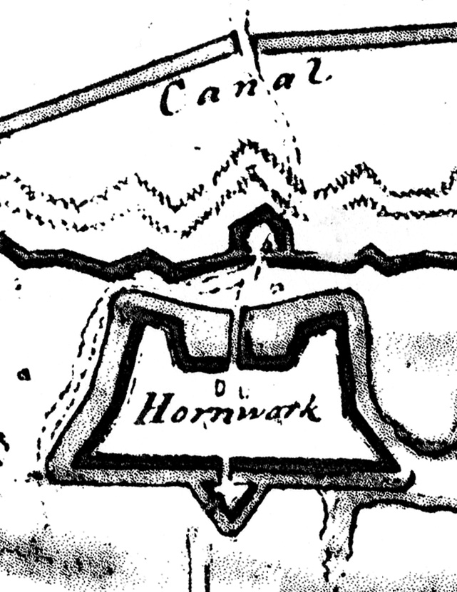
As far as the fortifications of early colonial Charleston are concerned, the authentic 1711 version of the Crisp Map is a very important source of information for understanding the nature, location, and identity of the town’s various urban defenses at that moment. In future postings we’ll delve into the individual components, such as the various bastions, redans, and walls.
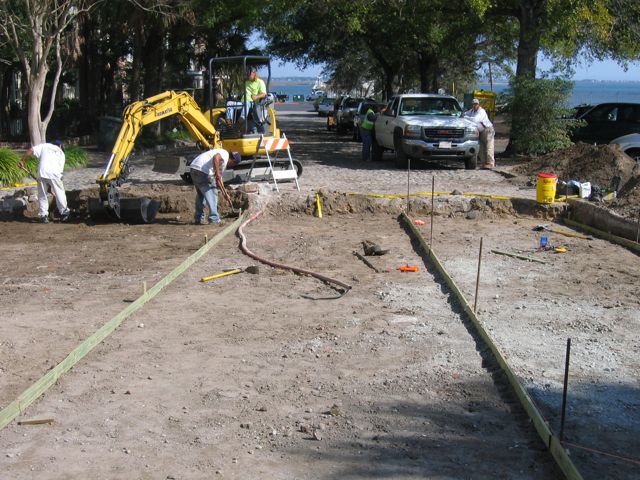
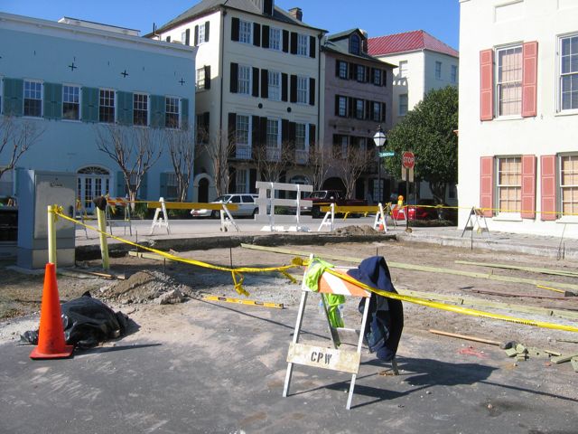
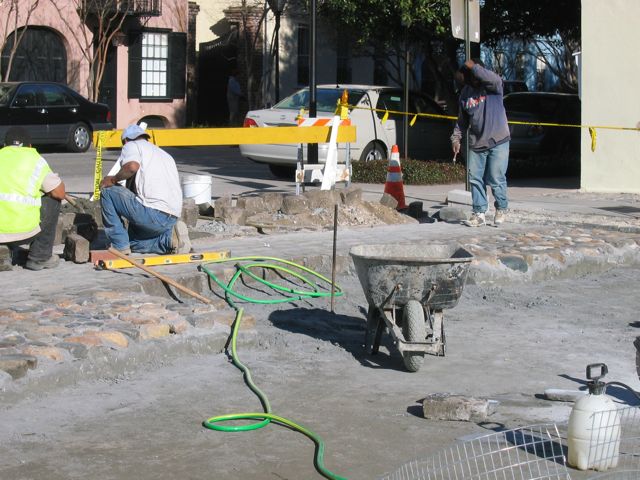
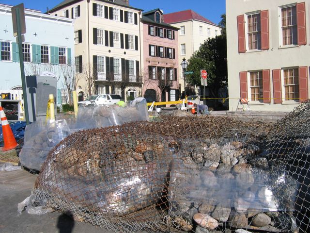
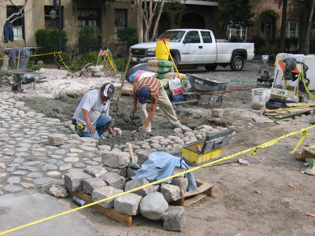
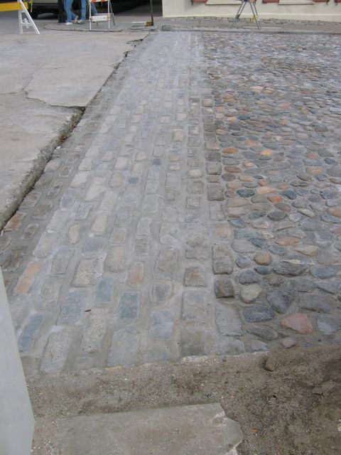
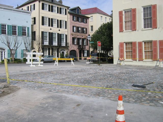
 At noon this Friday, May 9th 2008, Dr. Nic Butler will be the featured guest on Walter Edgar’s Journal, a weekly radio program broadcast on South Carolina ETV Radio. Dr. Butler is Special Collections Manager at the Charleston County Public Library and historian for the Mayor’s Walled City Task Force. The topic of Friday’s conversation, recorded on February 18th, is the recent archaeology at South Adger’s Wharf and Charleston’s colonial fortifications in general. We’ll hear some insight into the formation of the Mayor’s Walled City Task Force and the planning and research that preceded the dig, as well as a summary of our findings and some discussion of the prospects for future archaeology of Charleston’s colonial walls. In short, it will be an inspiring conversation about one of the most unique and exciting aspects of this city’s history.


 Subscribe via email