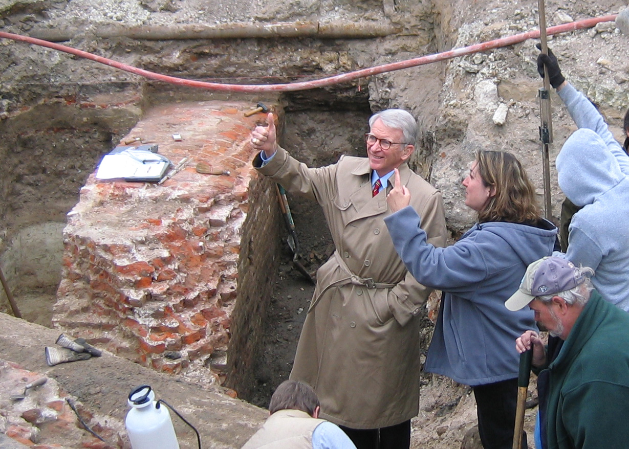
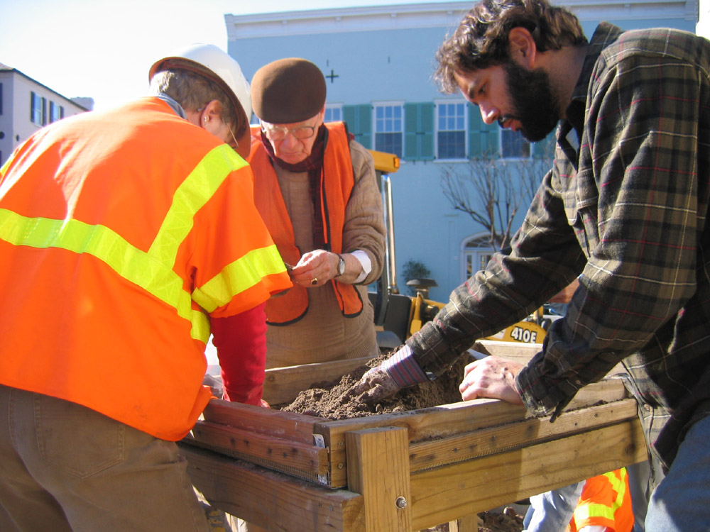
 Wednesday was an overcast, chilly day at South Adger’s Wharf, and in the late afternoon we all said a bittersweet goodbye to the redan wall that we’ve come to know so well over the past two weeks. Charleston Mayor Joseph P. Riley Jr. paid another visit to the site today and expressed to Katherine Saunders his great satisfaction with our discoveries and the enthusiastic public attention the dig has garnered. Beyond this executive visit, most of the day was spent wrapping up loose ends—measuring, surveying, sketching, and photographing. Nevertheless, we still managed to make a few very exciting discoveries.


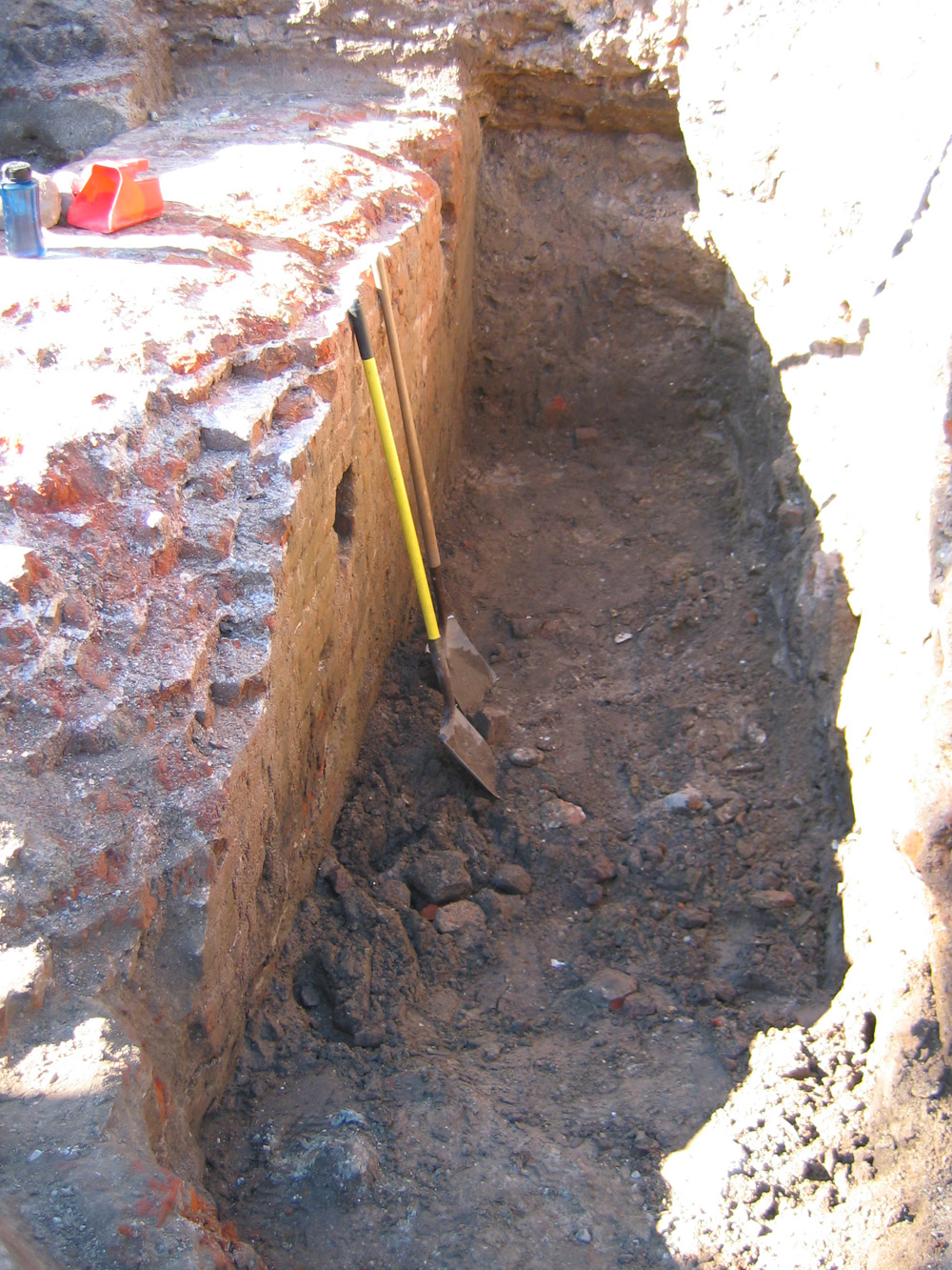
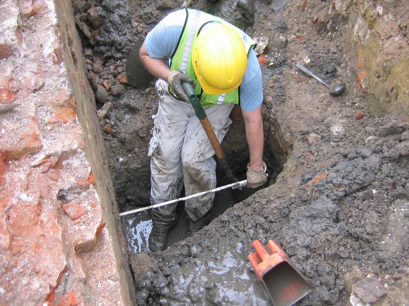
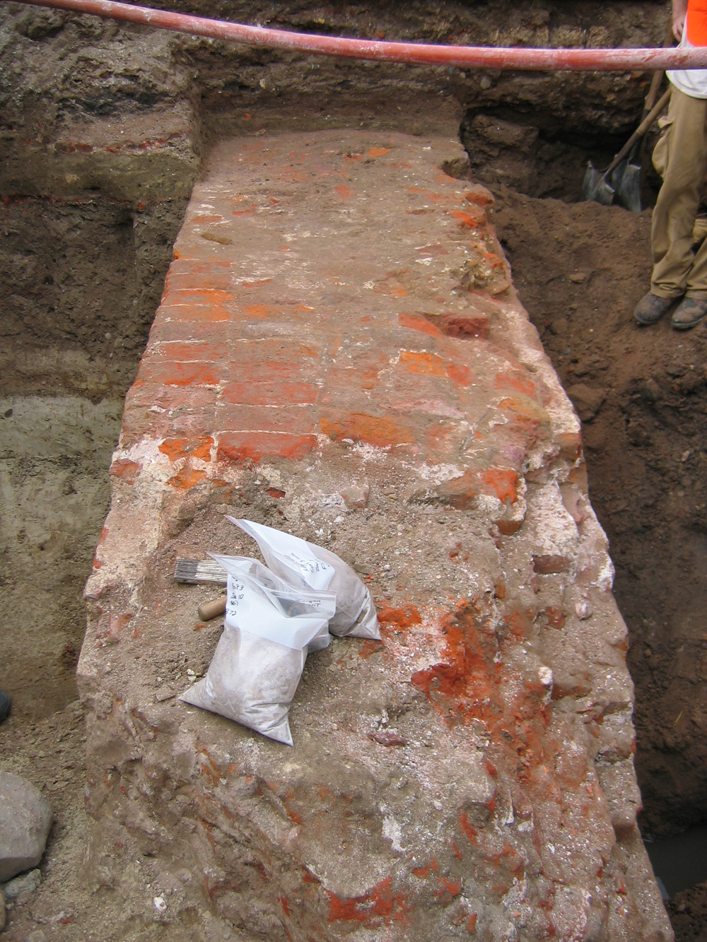
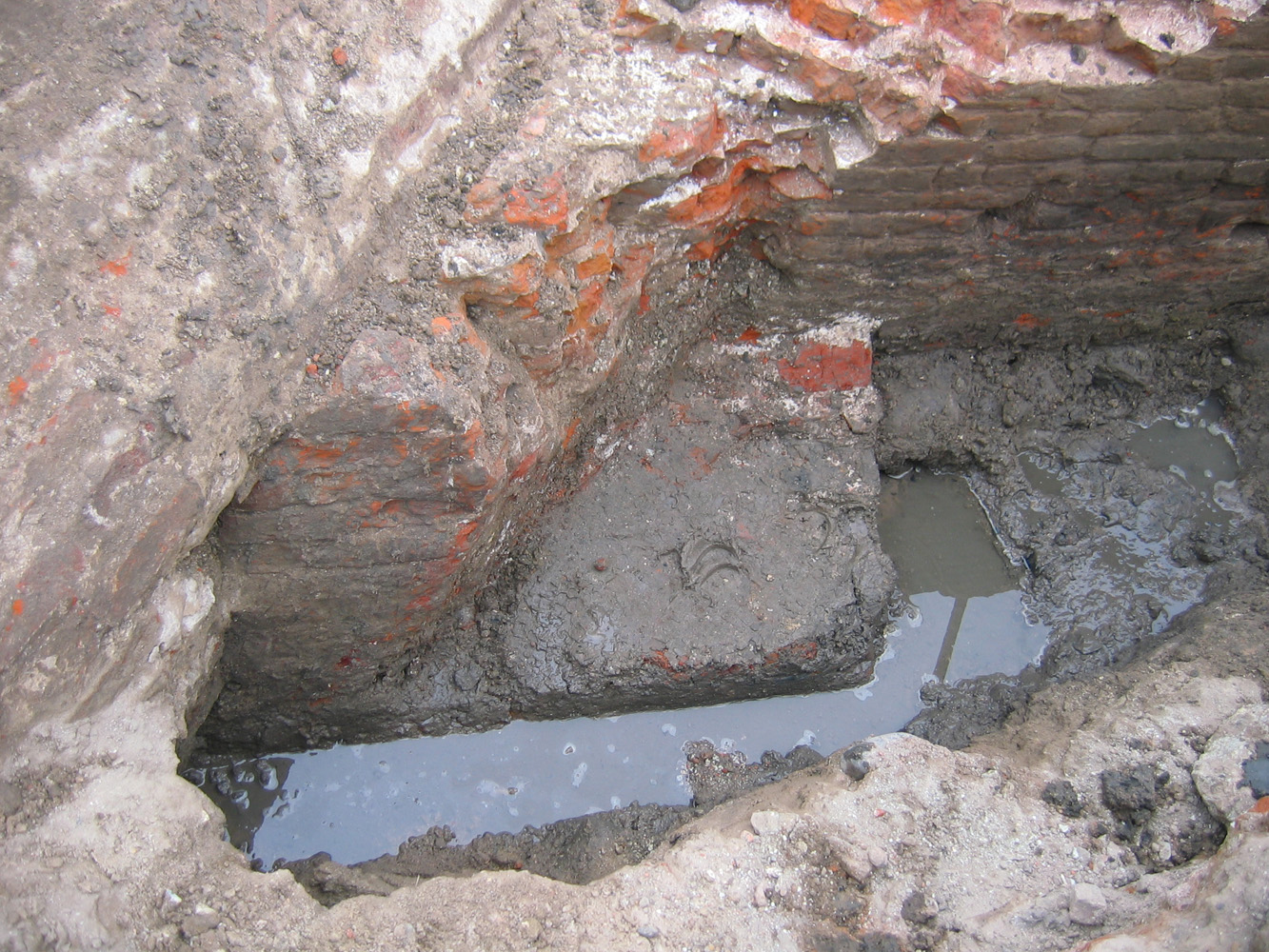 Several of us took turns shoveling out the slurry of mud in front of the redan’s northeastern face. Despite working right at the water table, we were determined to get a better view of the point where the outer face of the wall makes a transition from five feet wide with a sloped face to three and a half feet wide with no slope. After a couple of hours, we had removed enough of the ballast stones and brick rubble to reveal the outline of the transition, which you can clearly see in the photos here. Although the grey brick drain slices right through the middle of our exposed redan wall, you can see that the five-foot wide wall makes a ninety degree turn, then goes west for 1.5 feet, then makes another ninety degree turn towards the northwest. The lowest courses of this brick transition are still present, but unfortunately the upper courses have been demolished. Although it’s not visible here, the wall continues downward, with an outward slope, for several more feet below the water line in these photos. We weren’t able to get all the way to the foundation, but we have enough data to create some good three-dimensional images in the future.
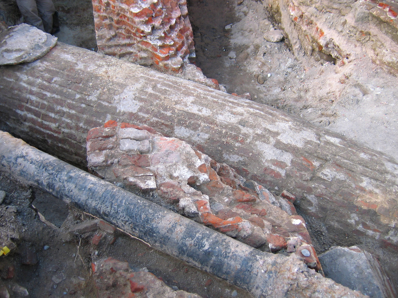
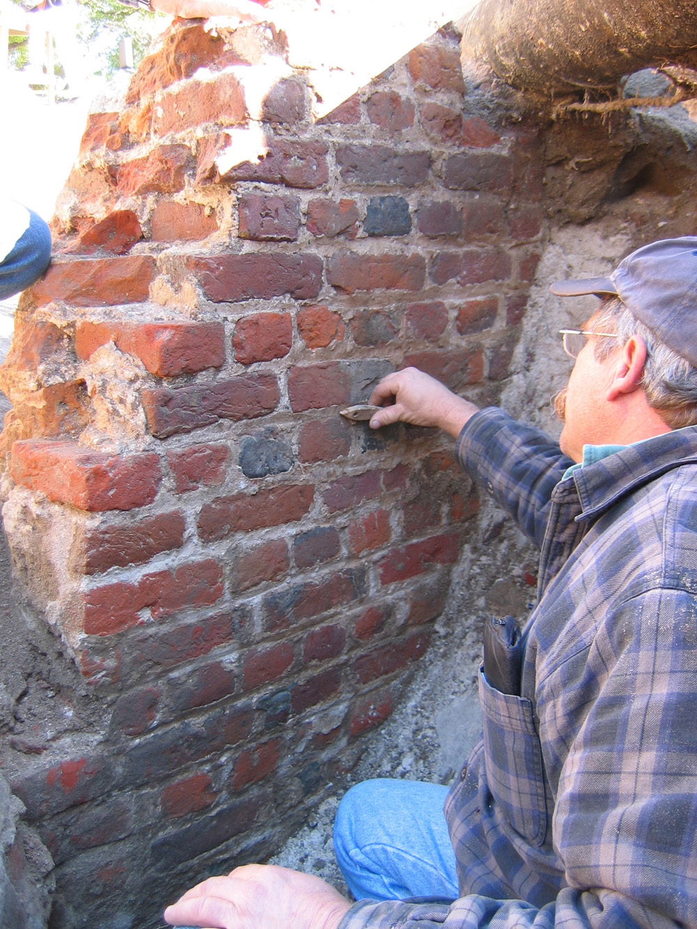
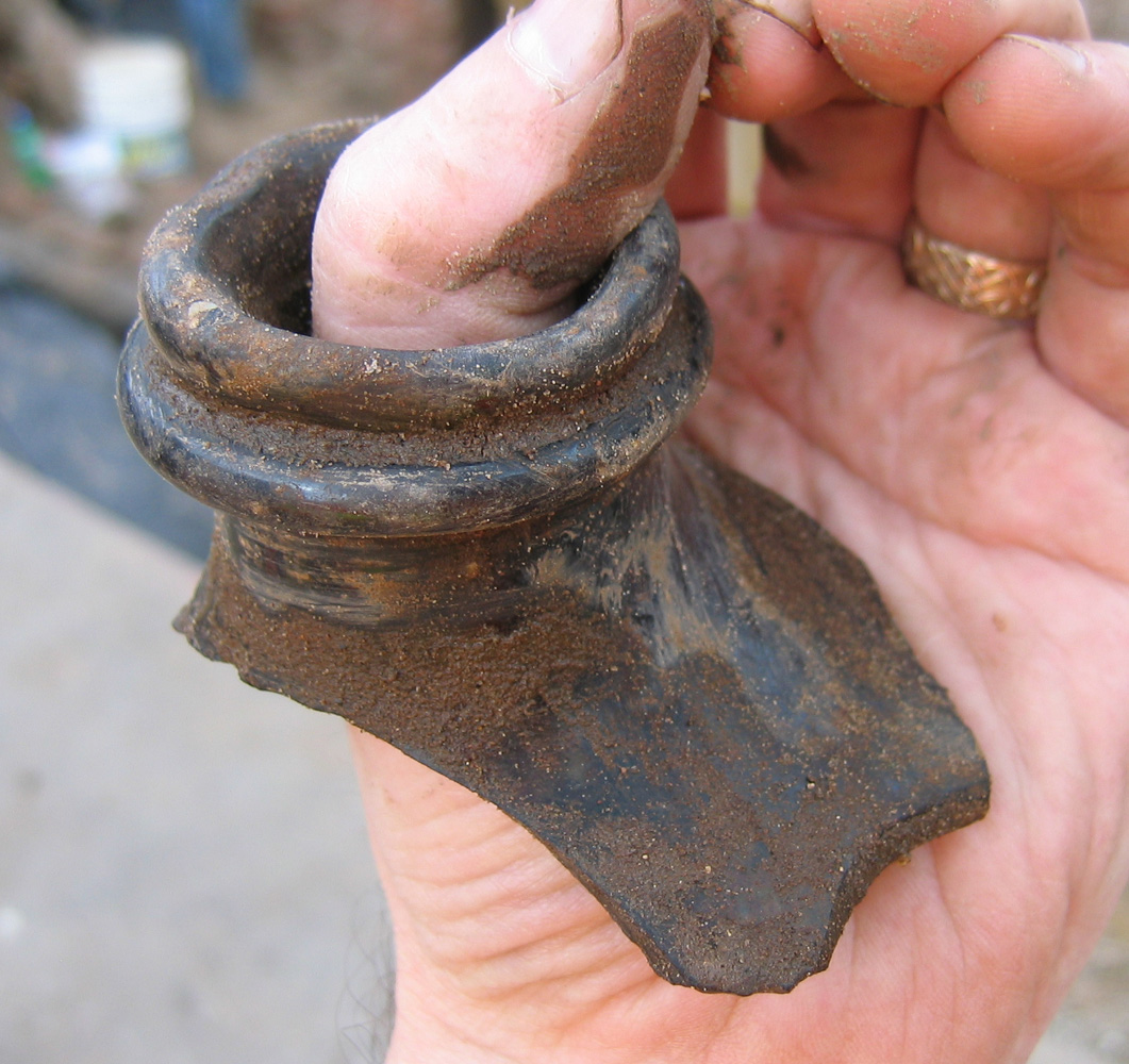
 Thanks to the well-skilled backhoe crew from Charleston Water System, several large fragments of the redan’s uppermost or parapet walls were pulled out of the dirt for safekeeping. These fragments, which were knocked into the mud during the redan’s demolition ca. 1785, can be useful teaching tools in the future, and they will certainly help us to create a visual reconstruction of Charleston colonial fortifications. The Charleston Museum will receive one or two large pieces for potential display, and one will be at the Historic Charleston Foundation.
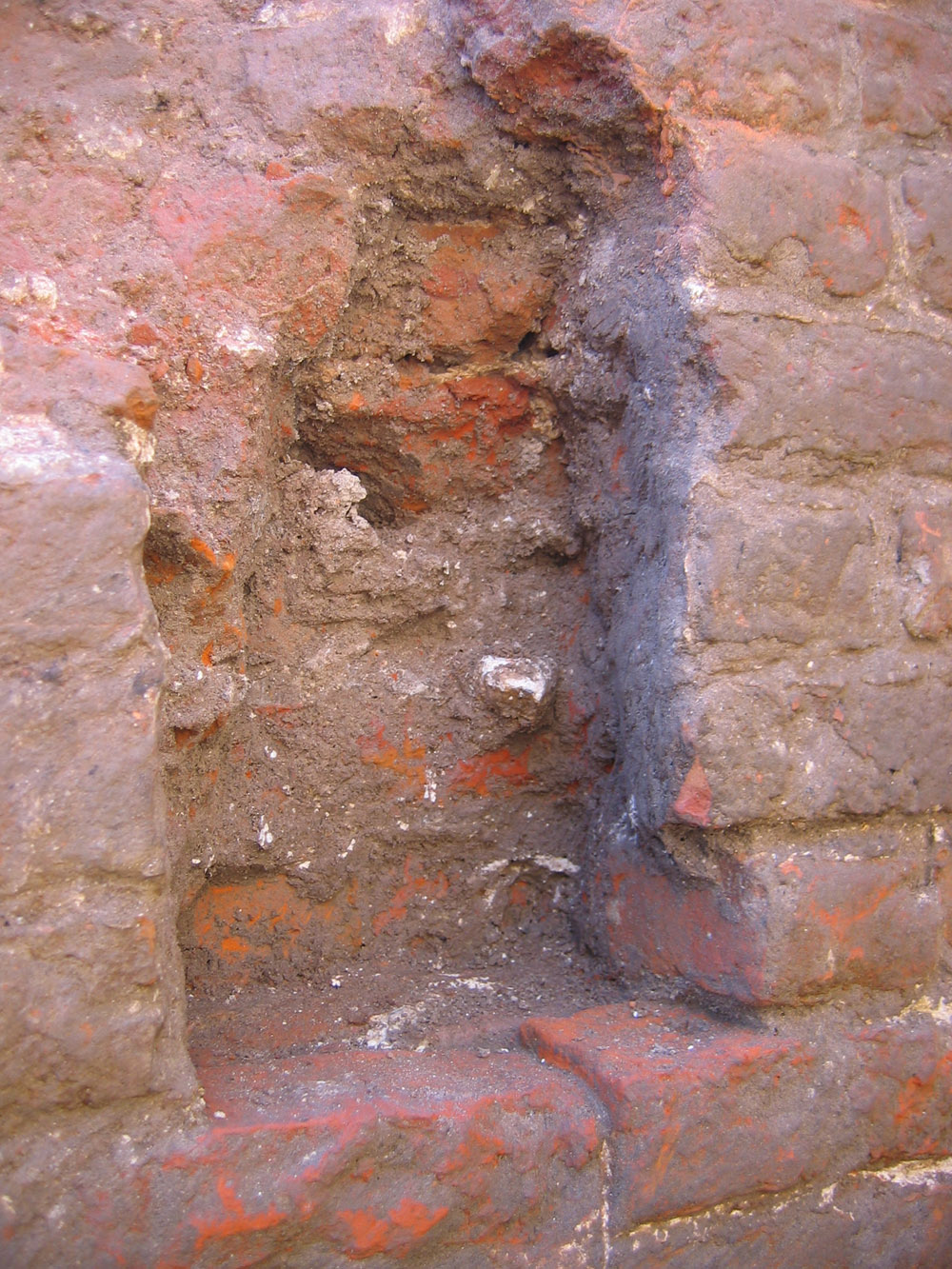
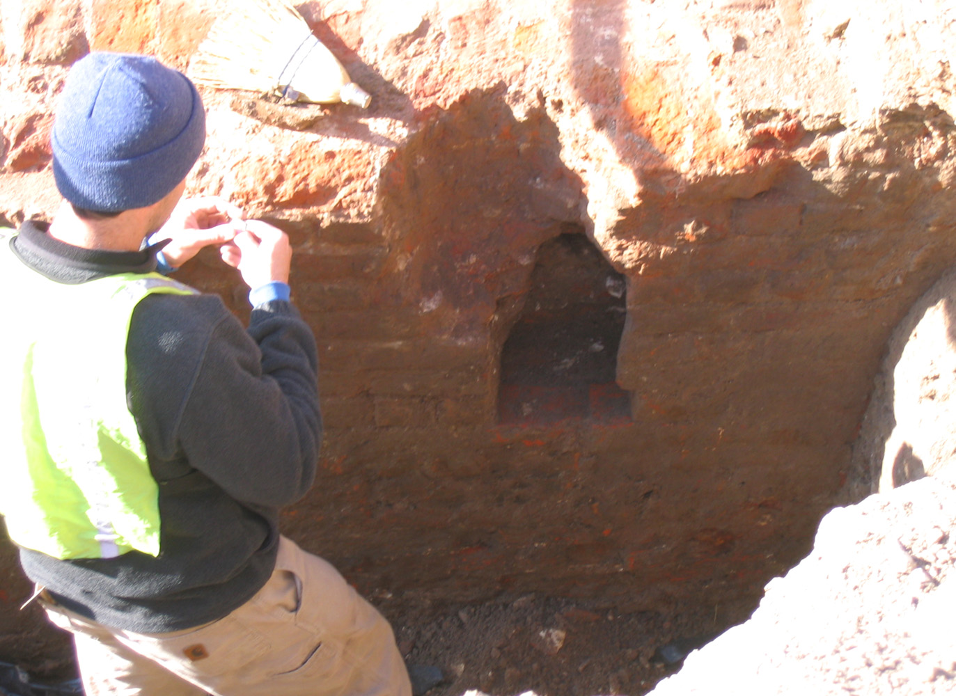
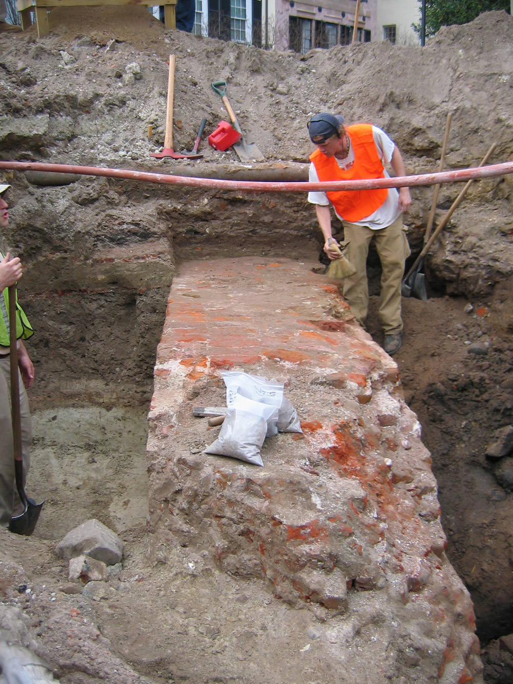
Until today, two of the large fragments of the redan wall were lodged in the earth just in front of the redan’s northern flank, blocking our view of that five-feet-wide sloping face. Once they were removed, however, we finally had a chance to trowel away the dirt from the exposed brick face.  Within a few minutes, we discovered another small square cavity in the outer face, almost identical to the two cavities found earlier in the northwestern-most part of the exposed redan. Doug Scott, a master mason visiting the site, said he’s encountered these sorts of cavities in other colonial-era buildings in Charleston. He confirmed what we’ve suspected all along–that these cavities are mortises for wooden scaffolding used by bricklayers during the construction of the redan’s upper walls. After their completion, the wooden timbers inserted into the cavities would have been sawed off flush with the surface of the wall. Suspecting, then, that we might find another square cavity at the extreme southern edge of the exposed redan, we dug for a few minutes and found a fourth cavity in the wall’s outer face. The exposed portion of the redan is so small in that corner, however, that I couldn’t get a good photograph.
  Measuring along the exposed outer face of the redan, these square mortises are almost exactly six feet apart and roughly on the same horizontal level. The crew from Brockington and Associates recorded this and other data for their “total station” digital mapping of the site, which will help us create three-dimensional representations of all of these features in the future.
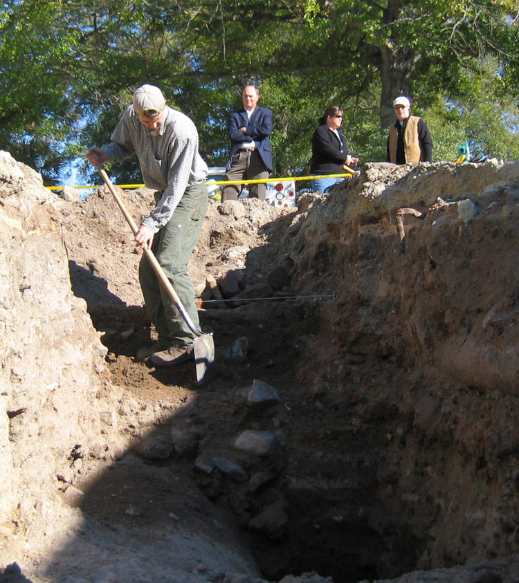
 As the winter sun sank in the sky, the call came to cease work and evacuate the trenches. The shovels and other equipment were gathered up and the crew stood back to take one last admiring look at the results of our two-week dig.
  Moments later, the backhoe lurched into action and began pushing recently-removed soil back into the trenches. In what seemed like an instant (but really more like a bone-chilling couple of hours), the western end of South Adger’s Wharf began to resemble the street on which we first gathered on January 3d. The old redan is now out of sight, but for those of us who had the opportunity to witness its brief appearance, it will never be out of mind.


 Subscribe via email