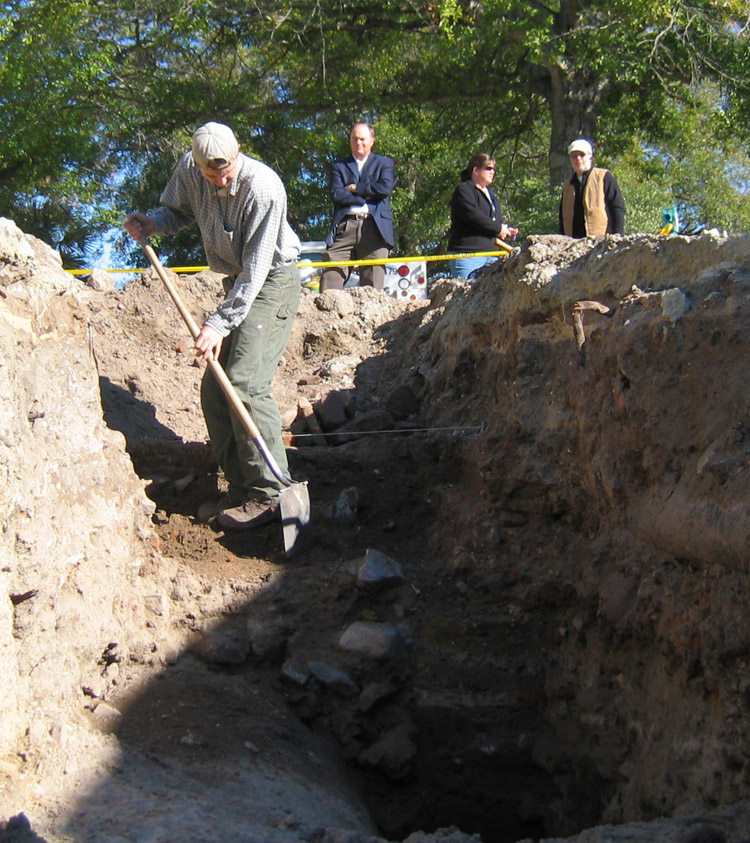
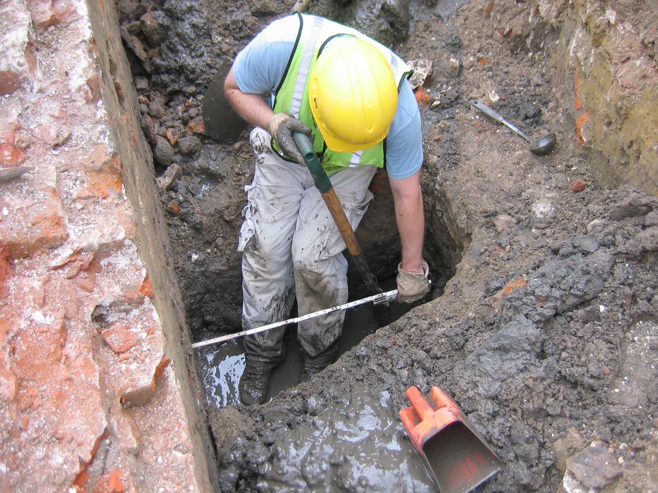
It was picture day at South Adger’s Wharf today. That is, the archaeologists did their best trowel and brush work this morning to make the exposed brickwork look as neat as possible for their “official” photographic record. This careful, detail-oriented work took most of the day, and despite deep shadows created by the low winter sun, they got some good images. My photos here aren’t the greatest, but I spent most of the day swinging a shovel and trying to stay out of their way!
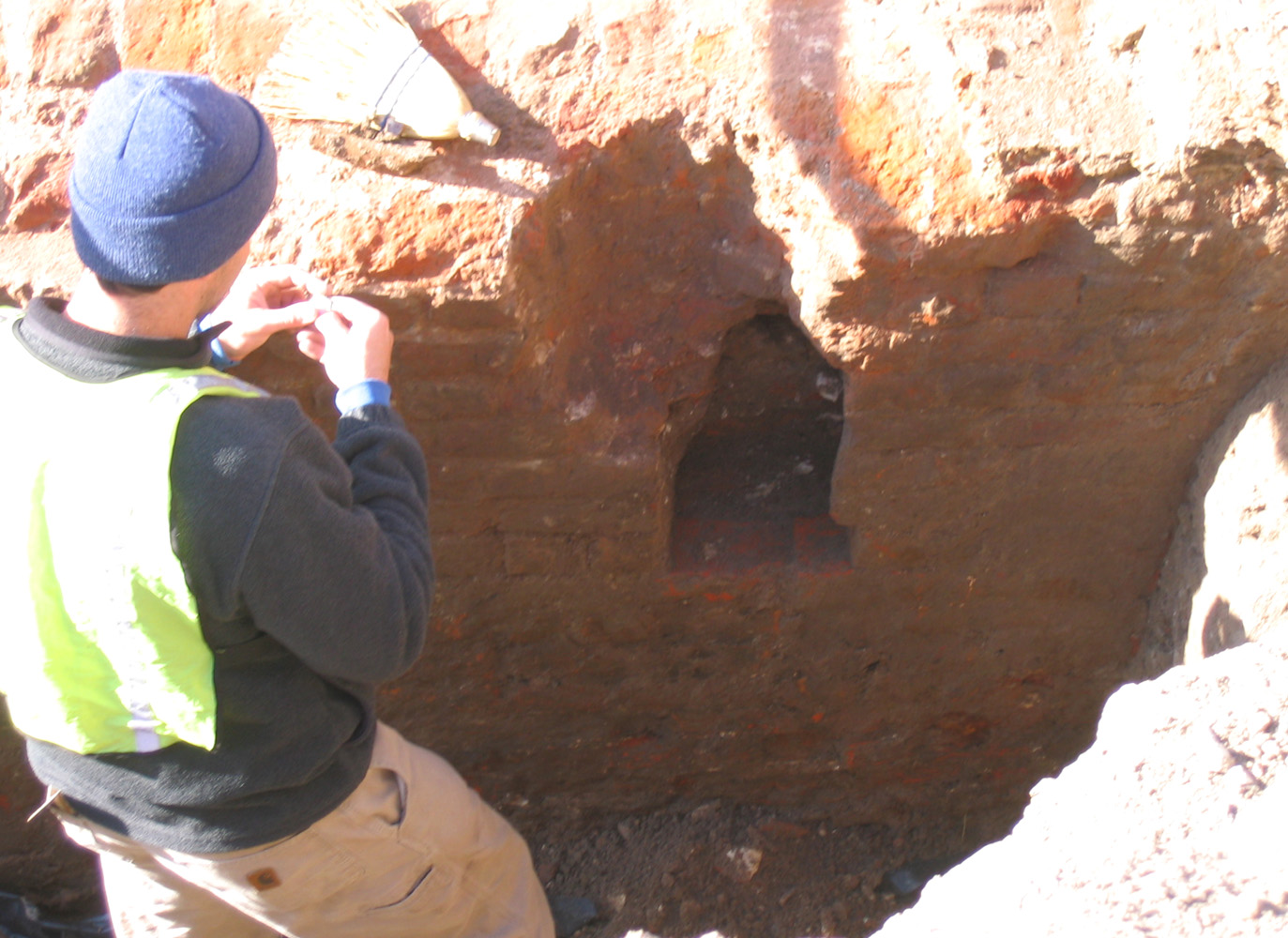
 This is my favorite shot—a view of the outer face of the north flank of the brick redan, looking southeast. In the foreground you see the exposed brickwork (facing the Cooper River) with a small square cavity, the purpose of which is yet unknown. In the mid-ground you see the mid-nineteenth-century arched brick drain running east-west through the remnants of the redan.
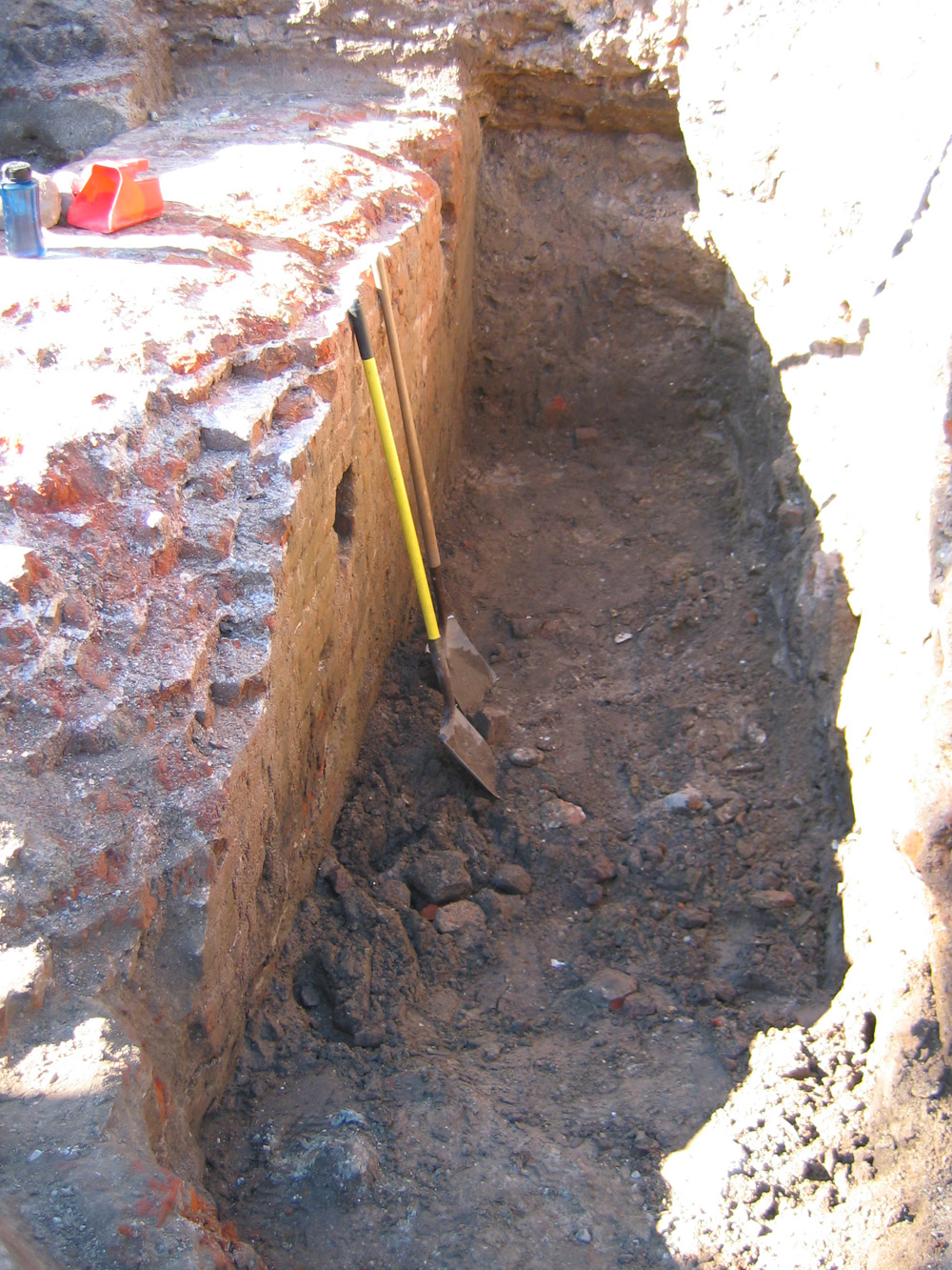
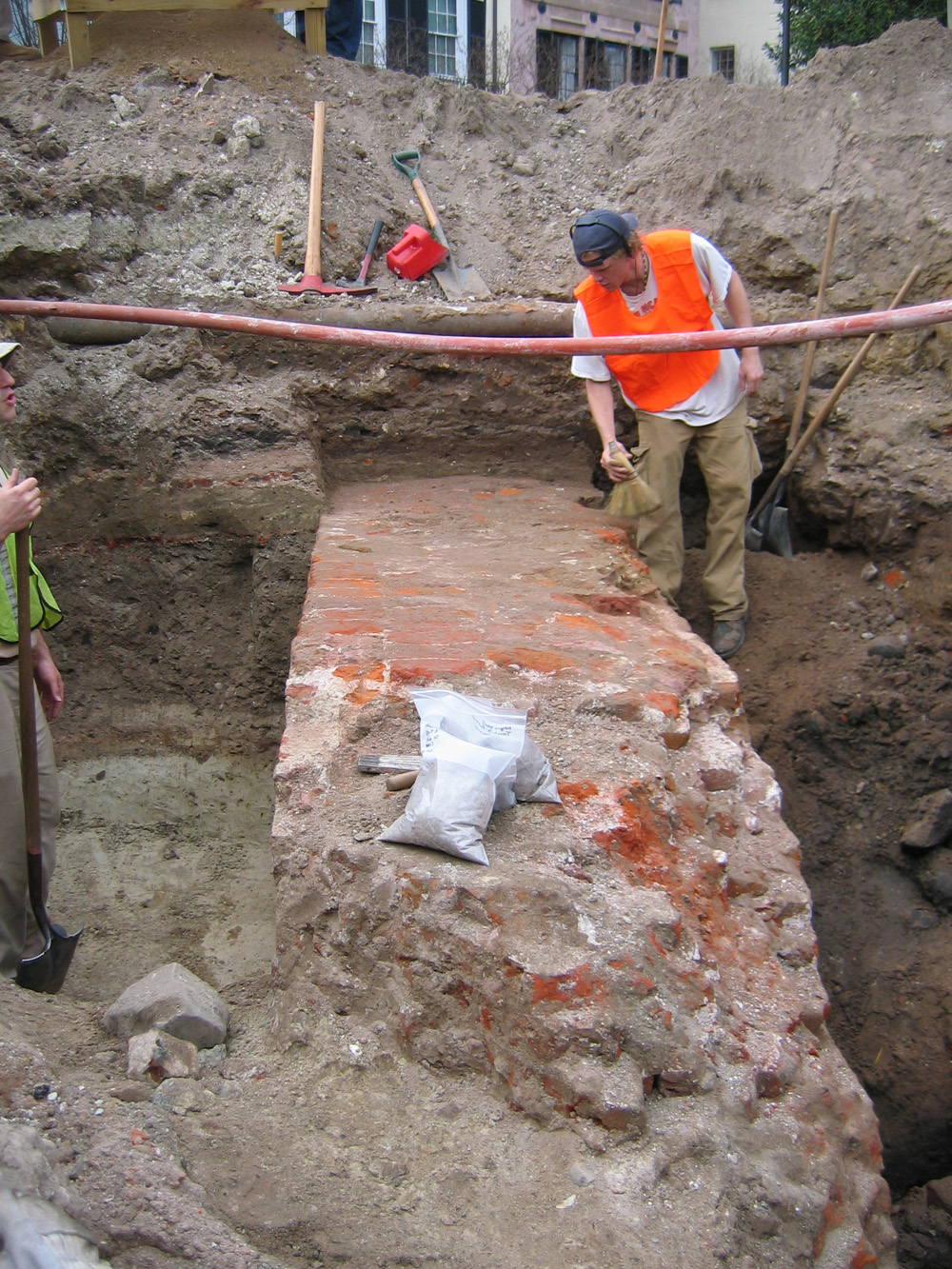
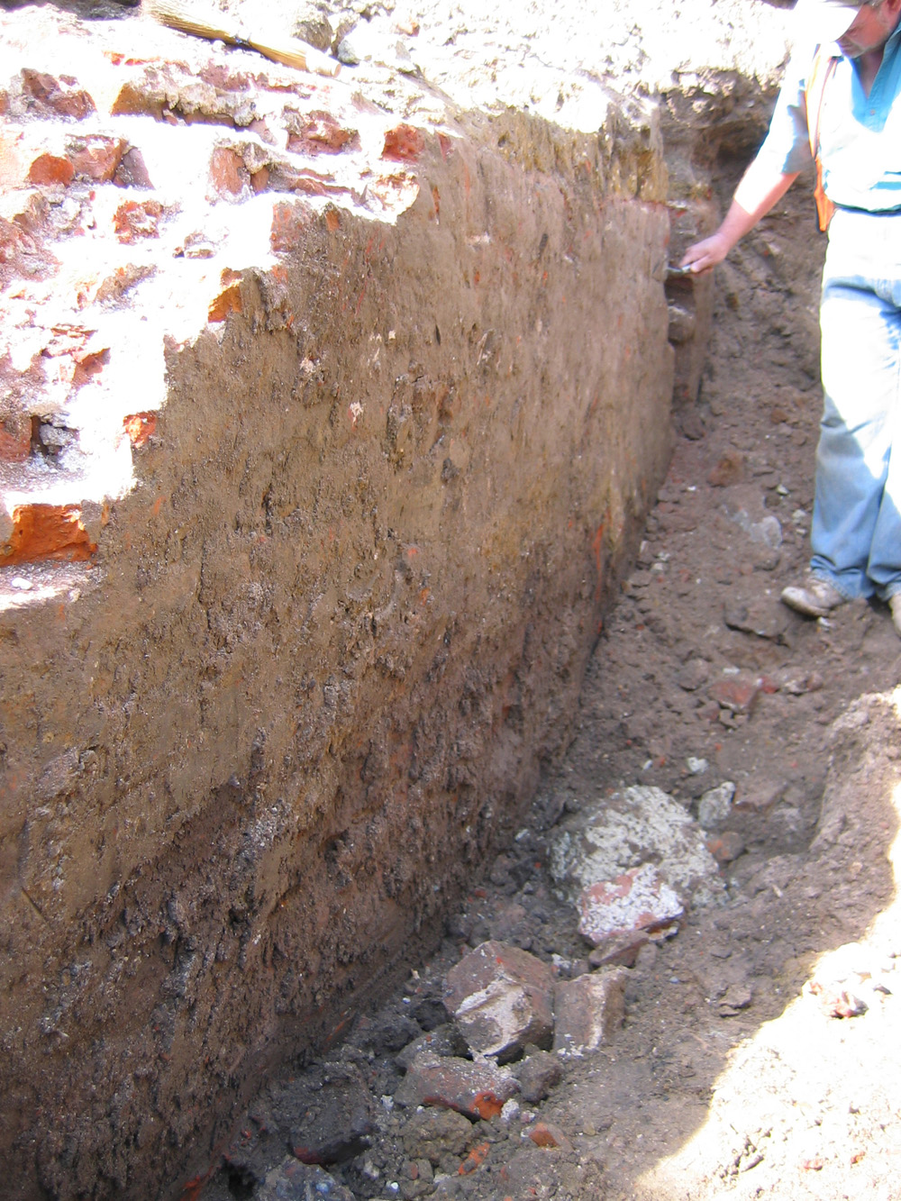
 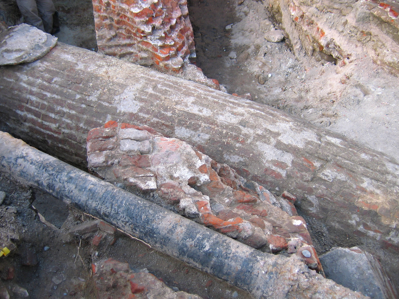 Also in the mid-ground, and continuing into the background, you see the face of the redan make a curving transition to a wider and sloping dimension just before the drain, a profile that is more clearly seen on the far side of the drain. The intersection of the 300-year-old redan and the 150-year-old drain is complicated, but here’s another photo of the cleaned-up intersection of those two features, looking in the opposite or northwest direction, that may help clarify their juncture.
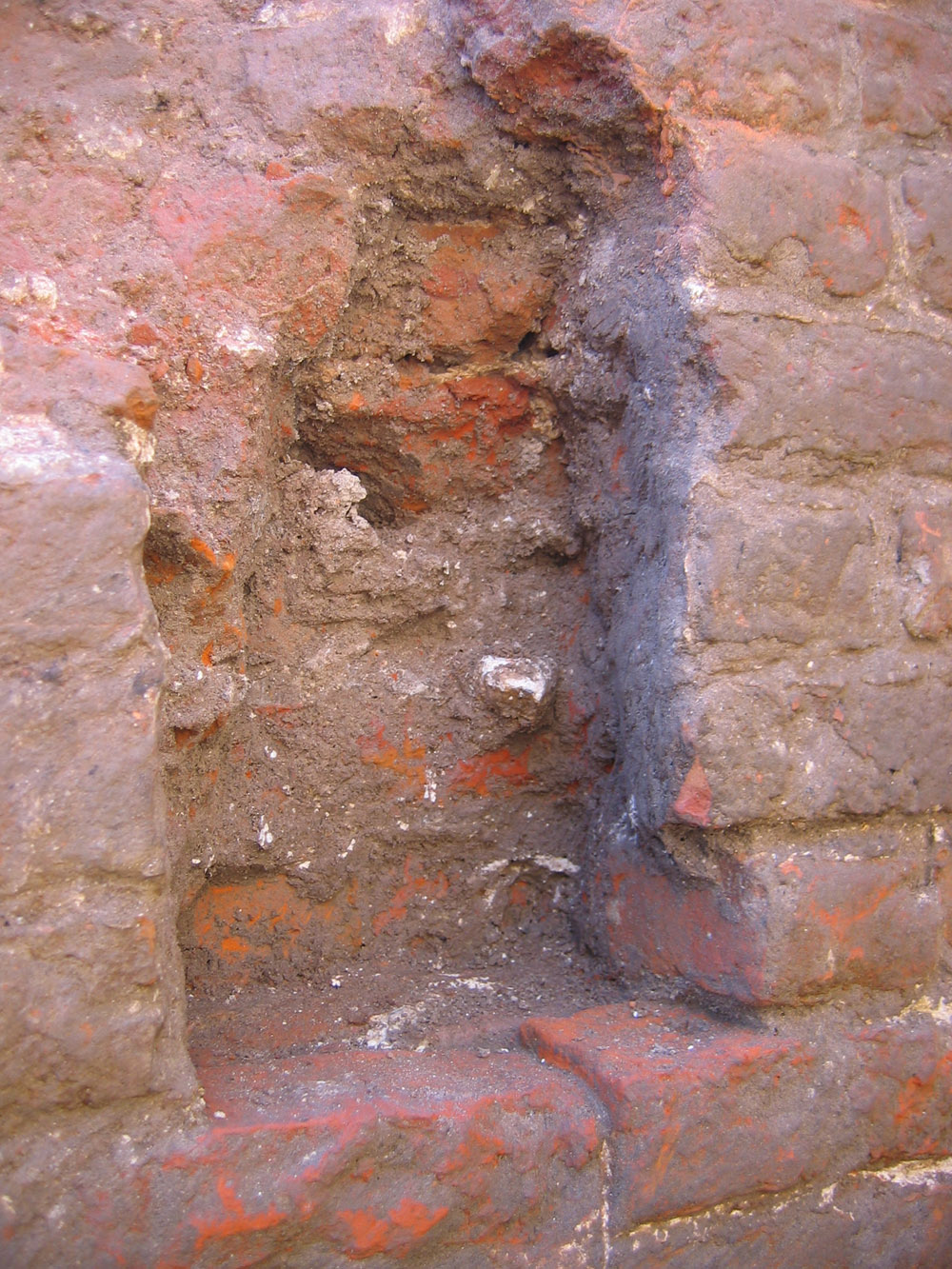
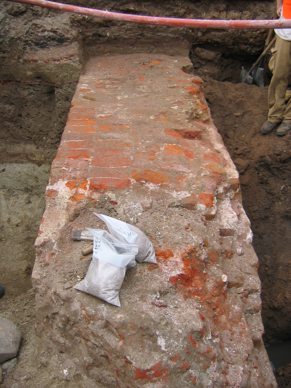
 While troweling a newly-exposed part of the outer face of the redan, at the northernmost edge of Trench 3, Ron Anthony discovered another small, shallow, square cavity in the face of the wall. This one closely resembles the cavity described a few days ago (and pictured above), but is almost exactly six feet on center to the northwest of the first cavity. I reported the other day that the first cavity appears to have been chiseled out of the brick, but the base of this second cavity appears to have been purposely left open when the bricks were laid. Like the first cavity, the northern or right face of the second is angled so as to make the void wider in the back than the front. You’ll notice in these pictures that the bricks above the once-square cavity have been cut out, leaving a cone-shaped void. This work was probably done ca. 1786, when the Lower Market, a shed structure with wooden piers, was extended over the remnants of the old redan.
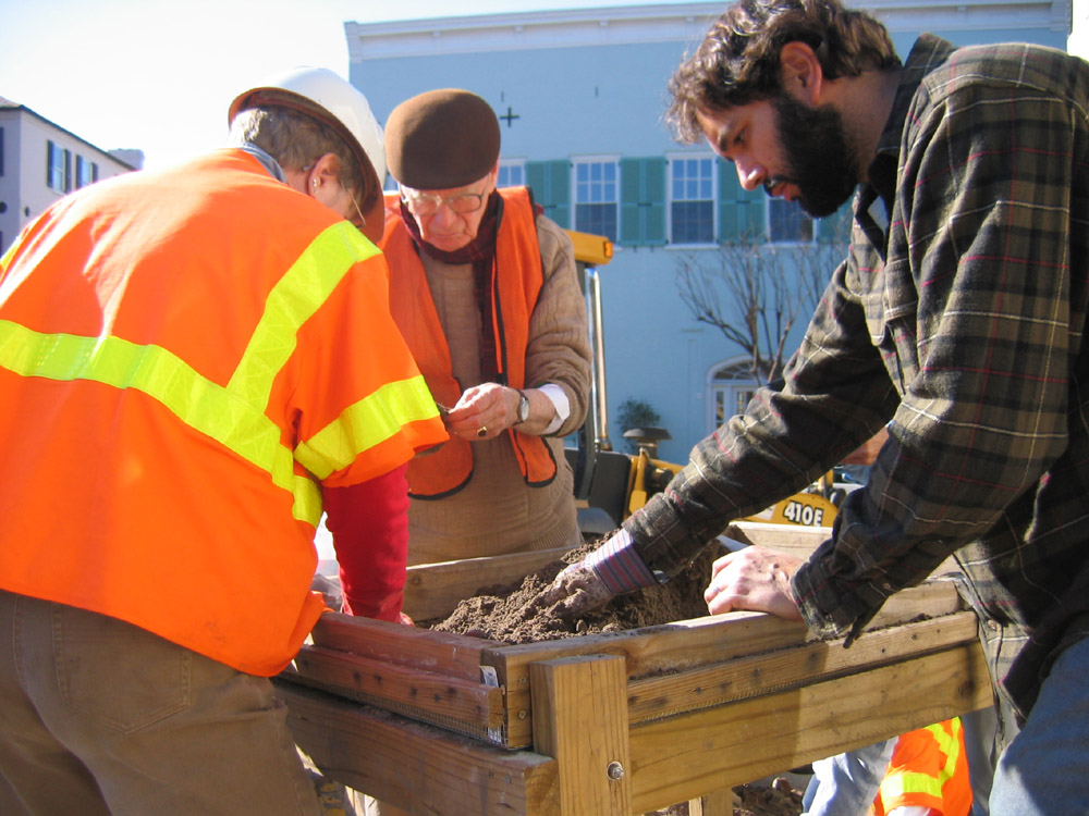
 Damon Jackson of Brockington and Associates continued the careful excavation of Unit 4, at the easternmost end of Trench 2. Damon was also on site most of yesterday, too, when he did most of the “total station” mapping for the entire dig site. This careful surveying of the site and its historical features will later be compiled into a comprehensive map of the site that will be invaluable once the redan is covered over.
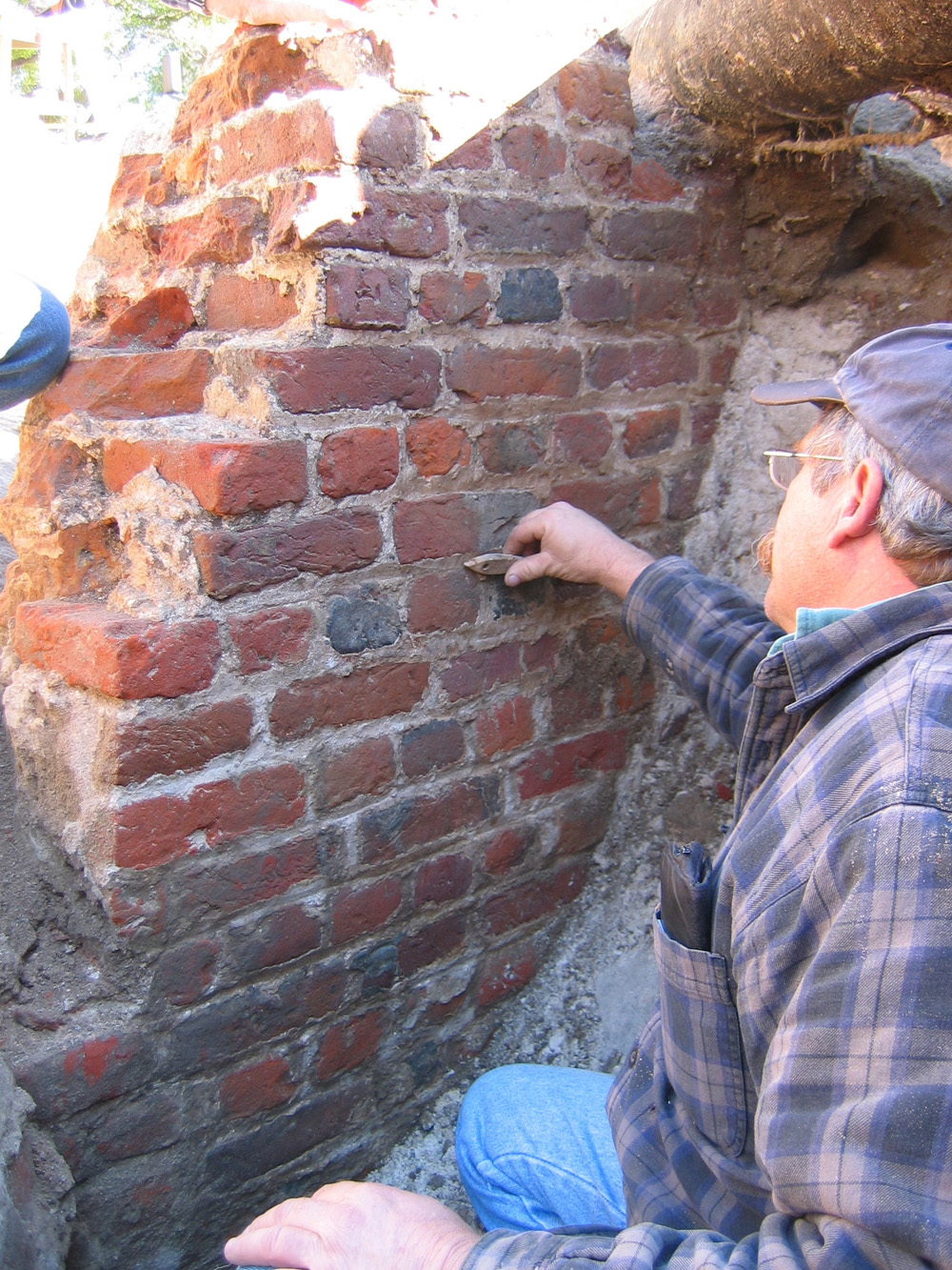 Doug Scott, a masonry expert from the American College of the Building Arts, visited the site today and offered some very interesting insight into the redan brickwork. He noticed that there is sand impregnated deep into the mortar of the lowest exposed courses of brickwork on the back (land side) of the redan, suggesting that this area was being backfilled almost immediately after the bricks were laid some three hundred years ago. We’re definitely going to be picking Doug’s brain further about this historical brickwork!
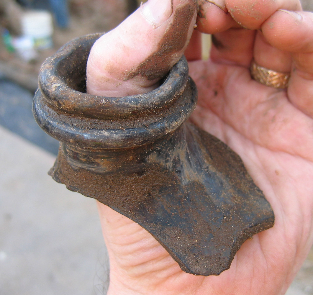
 Last but not least, here’s a photo of a brick fragment of the redan wall that I dug out of the backhoe fill today. I noticed that it appears to have two finished faces, forming about a 100-degree angle, as you can see in the photo at left. I suspect that this is part of one of the embrasures from the redan—that is, one of the openings in the redan wall through which the cannon protruded. In this photo, the outer face of the brick is face down in the wheelbarrow, and the inside of the embrasure is at the far left. Imagine that a cannon might have once pointed from the top left of this picture towards the bottom left.
This fragment of the redan (a remnant of the 1785 demolition) is headed to the Charleston Museum, where it will hopefully be on display one day.
Tomorrow (Wednesday) is the last full day of work on this dig. Stay tuned for more details!


 Subscribe via email