Following the 2008 and 2009 excavations of the colonial-era redan at the east end of Tradd Street (now South Adger’s Wharf), the Mayor’s Walled City Task Force began planning with the City of Charleston to depict the outline of the redan’s foundation on the present landscape. After considering and dismissing several methods and materials for accomplishing this goal, Mayor Joseph P. Riley insisted that brick should be used in order to render the outline as visible and as durable as possible. Some months ago Charleston Museum’s archaeologist Martha Zierden used spray-paint to touch up the series of pink dots on the road surface that indicate the outline of the redan’s inner and outer faces. This morning workers used masonry saws to connect those dots, and removed the asphalt and cobblestones between the inscribed lines. In the coming days, we’ll see the finished effect–a handsome brick pathway that follows the precise outline of the redan’s walls, which remain standing just two feet below the modern surface. The public is invited to visit South Adger’s Wharf and view the new work. If you can’t make it down to the site, enjoy these photos taken by task force co-chair, Katherine Saunders Pemberton, earlier today. 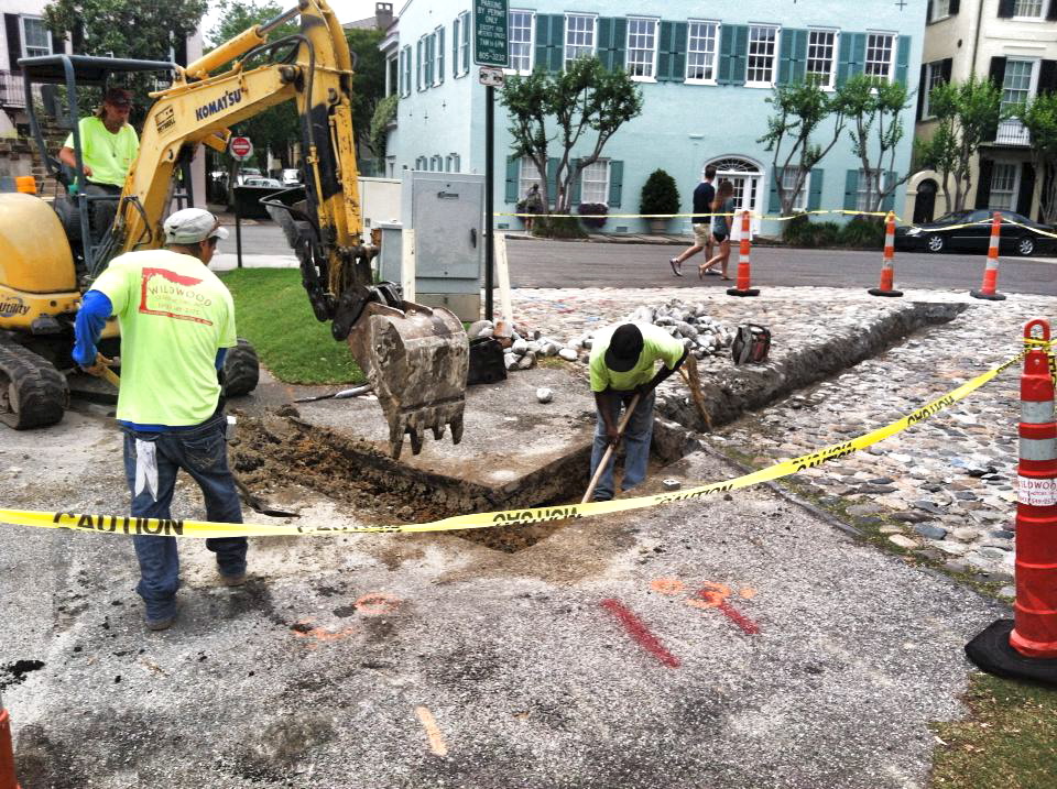

20 May 2013
Redan Outlined in Brick
Posted by Nic Butler, Ph.D. under archaeology, Charleston, Charleston Museum, fortifications, history, South Adger's Wharf, Tradd Street RedanLeave a Comment

Leave a comment